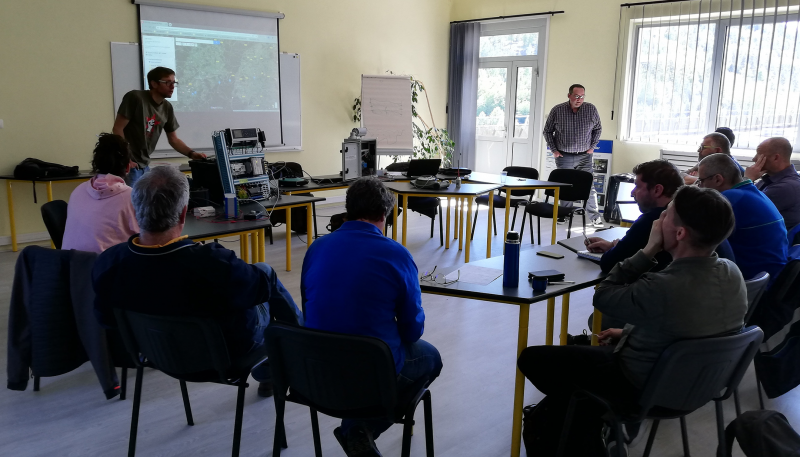
Installation de sites de mesure sur une rivière caractérisée par un régime pluvial cévenol marqué, alternant de fortes crues en automne et un étiage sévère en été.
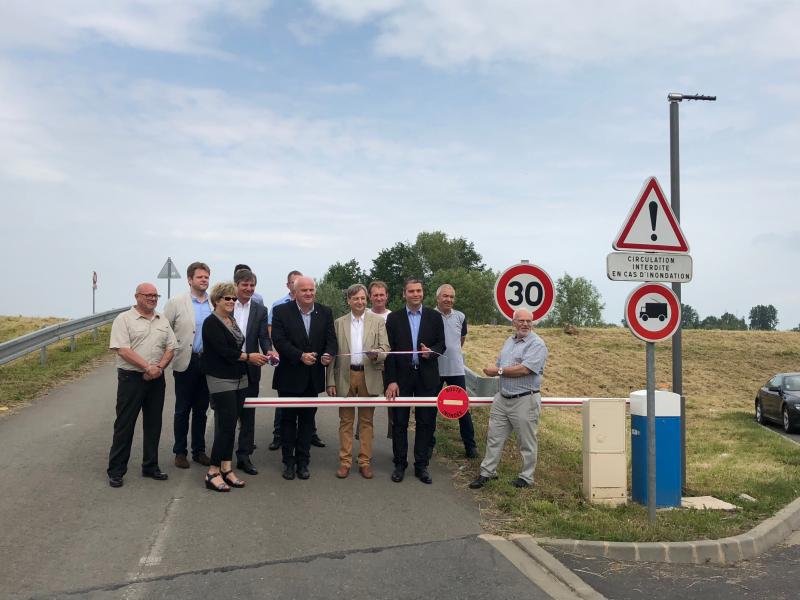
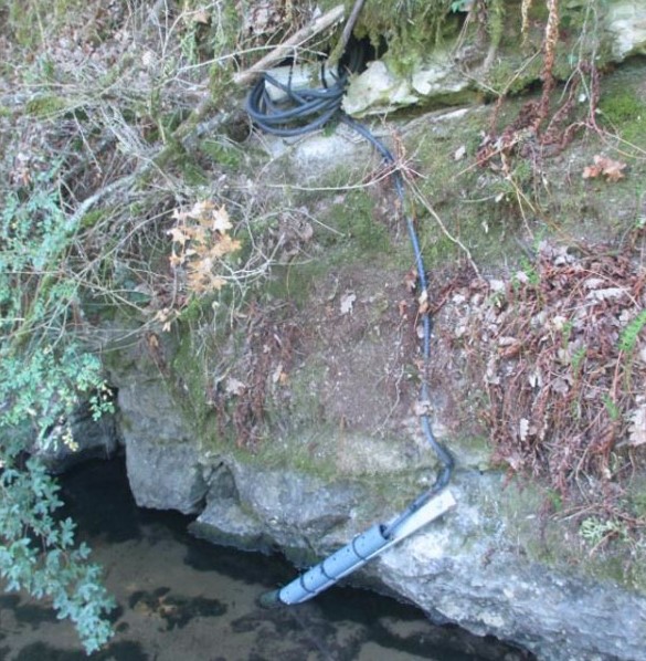
Système complet de détection permettant de transmettre des informations en temps réel pour déclencher la fermeture de barrières en cas de crue.
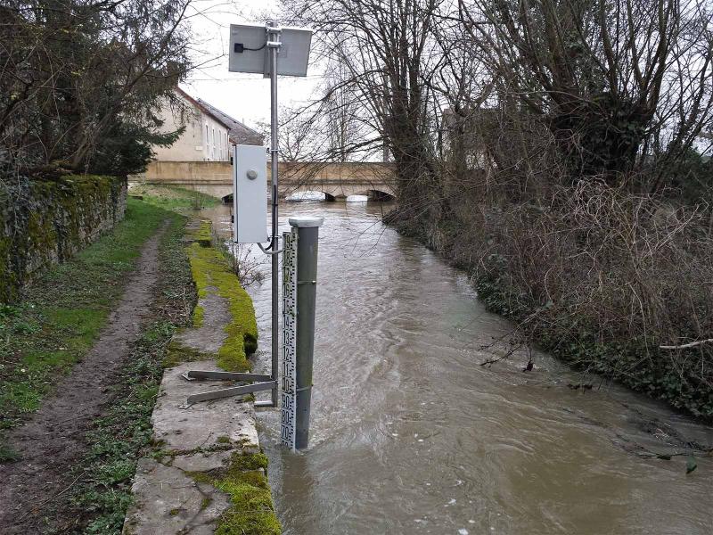
Pour organiser les moyens d’intervention en cas d’inondations par débordement de cours d’eau, mise en place de stations de mesure destinées à disposer de données hydrométéorologiques fiables et en temps réel.
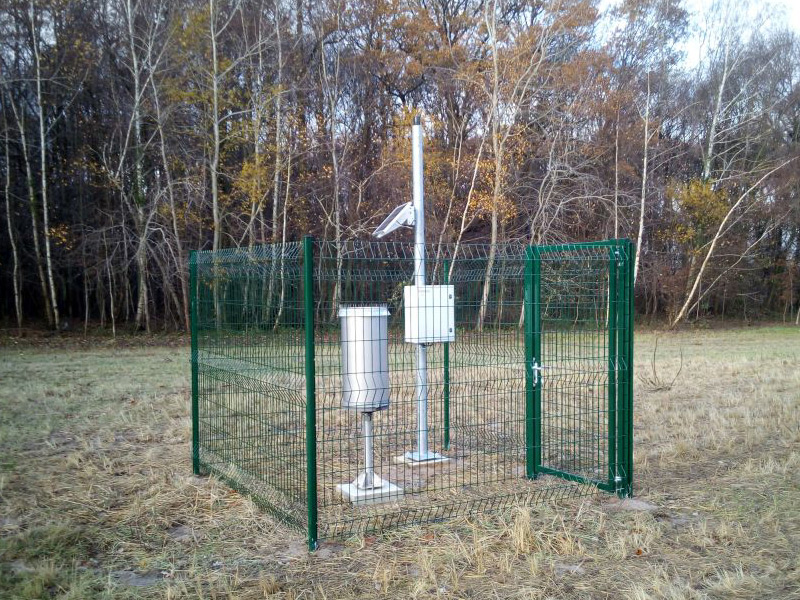
Suivi qualitatif et quantitatif des eaux souterraines et superficielles sur un réseau comportant plus de 200 points de suivi.
Paratronic
Zone Industrielle Rue des genêts
01600 REYRIEUX
T : +33(0) 4 74 00 12 70
F : +33(0) 4 74 00 02 42
Suivez-nous sur les réseaux sociaux
![]()
![]()
Contactez-nous
Vous souhaitez en savoir plus sur nos produits ou services ? Appelez-nous directement au
+33(0) 4 74 00 12 70 ou écrivez-nous.