Surveillance des eaux en milieu naturel
Le Syndicat mixte du bassin supérieur de l’Orge (SIBSO) était un établissement public de coopération intercommunale qui regroupait 23 communes. Basé à Ollainville (91), le syndicat intervenait sur le bassin versant de l’Orge, de la Renarde et de la Rémarde, pour un linéaire total d’environ 130 km.
Il est devenu Syndicat de l’Orge, de la Rémarde et de la Prédecelle depuis le 1er janvier, suite à un regroupement.
La crue de mai-juin 2016 sur le bassin de l’Orge a confirmé l’importance de disposer de données hydrométéorologiques fiables en temps réel, afin d’organiser les moyens d’intervention en cas d’inondations par débordement de cours d’eau. La possibilité d’anticiper ces événements est également un atout pour les acteurs en charge de la protection des biens et des personnes.
A l’initiative des élus du syndicat, François Charpentier (ingénieur chargé de prévention inondation) a effectué l’étude du bassin et du projet d’instrumentation, initiés en 2017.
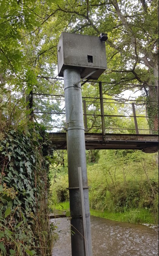
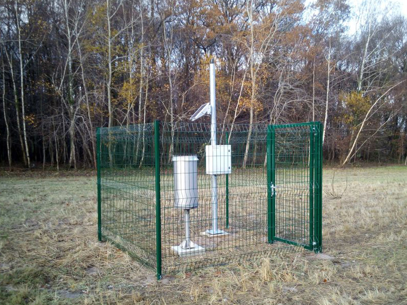
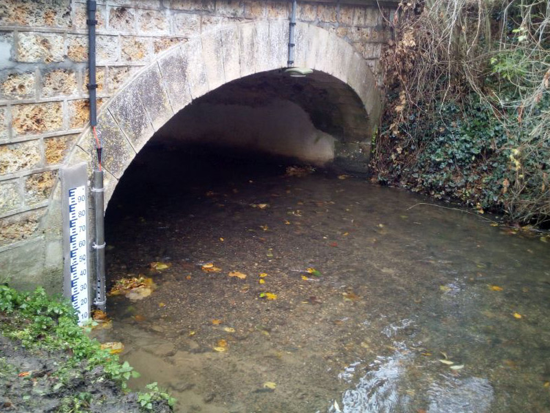
L’instrumentation de huit points de mesures a été réalisée par la société SEMERU, surveillant des hauteurs d’eau, des hauteurs-débits et des précipitations salon les situations. Chaque point de mesures est équipé d’une station d’acquisition LNS. Des capteurs piézométriques SNA et radars CR4-20 mesurent les hauteurs, et des pluviomètres PLV1000 mesurent la pluviométrie.
Chacune des stations envoie ses données et informations au système de supervision développé par la société SEGI, en utilisant un modem GPRS/3G. La faible consommation des matériels PARATRONIC a permis l’installation de ces points, en autonomie totale (batterie), tout en rapatriant les données toutes les heures en période normale et toutes les 15 minutes une fois le seuil d’alerte dépassé.
Le système de supervision permet un affichage en direct des mesures sur le site internet du syndicat, à destination des intéressés.
A terme, cette opportunité d’accès à des données nouvelles sur l’Orge amont sera le point d’appui d’un réseau d’alerte, à l’image de ceux déjà mis en place par d’autres collectivités sur les réseaux hydrographiques non-surveillés par les services de l’Etat.
De plus, les données obtenues auront ensuite vocation à être validées et bancarisées de façon à constituer à la fois des références pour améliorer la connaissance du bassin versant et disposer de données fiables pour le calage de futurs modèles hydrauliques et hydrologiques.

Les stations d’acquisition LNS ont spécialement été développées afin de répondre à ce genre de problématique : surveillance des milieux naturels sensibles par capteurs, bancarisation et transmission des données, déclenchement d’alertes…
Article Sud Ouest Maine-e-Loire : Le SDIS 49 Inaugure deux nouvelles technologies, les caméras de détection des feux de forêts et une équipe de télépilotes de drones.
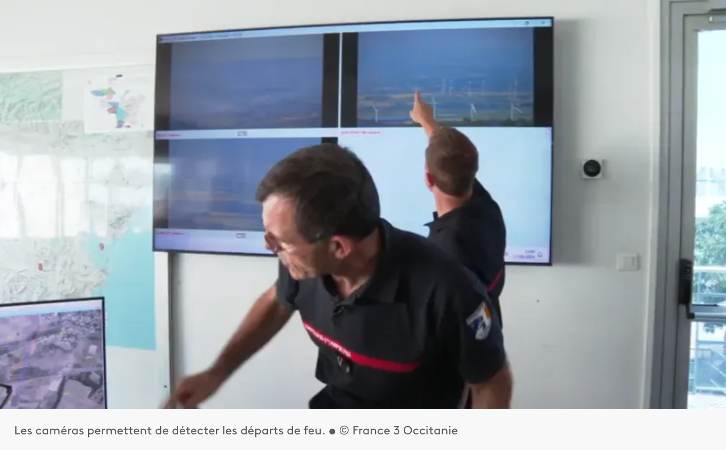
Installation d’un système d’Alerte, DEtection et Localisation des Incendies par caméras sur les auteurs du département de l’Aude 11.
Paratronic
Zone Industrielle Rue des genêts
01600 REYRIEUX
T : +33(0) 4 74 00 12 70
F : +33(0) 4 74 00 02 42
Suivez-nous sur les réseaux sociaux
![]()
![]()
Contactez-nous
Vous souhaitez en savoir plus sur nos produits ou services ? Appelez-nous directement au
+33(0) 4 74 00 12 70 ou écrivez-nous.